Landfall Lake
Landfall Lake Executive Summary From Steve Hughes
January 26, 2022
Landfall’s Lake, which might be alternatively called Landfall Mitigation Lake, has quite a history attached to it. Below we will provide information on this body of water that should assist our residents in understanding why it exists, the form of its current existence, and the limitations to possible modifications. We will also clarify the legal and regulatory bodies, in addition to the COA, that hold jurisdiction, oversight, and decisioning over the Lake.
History
The property originally housed the icehouse for the Pembroke Jones Lodge, which was located on what is now Great Oaks Drive. Blocks of ice were transported from the partially underground building surrounded by large trees, to the Lodge on an as needed basis. Unfortunately, the icehouse, much like the Lodge itself, fell into disrepair following Pembroke’s death in 1919. The icehouse was located at the base of the hill near the current Moreland Drive stairway entrance to the Lake.
In 1984, Landfall Developer, J.P. Goforth, along with the Weyerhaeuser Co. (Landfall Associates) purchased the land known today as Landfall from Pembroke’s Daughter and Granddaughter. Mr. Goforth had the dream of building a large Marina where the icehouse stood, connecting it to the nearby lake known as Horseshoe Lake; which exists today. Unfortunately, after years of digging out the area, without the proper permits in place, the Governmental agencies put a stop to Mr. Goforth’s dreams of building a Marina in Landfall.
In 1989, J.P. Goforth sold his portion of Landfall to Frank H. Kenan, a businessman, and philanthropist with close family ties to Wilmington. In the mid ’90s Landfall was expanding and the desire to build a third golf course in the community was at the top of Kenan’s list. After several designs and meetings with golf course designers, such as Tom Watson, it was decided to stay with Jack Nicklaus and add nine more holes to the existing Nicklaus design course already in Landfall.
In order for the course to be built and lots to be designed and developed, many of the wetland areas, across what is now Deer Island Lane, would need to be modified by adding fill material, which required the proper permits. Acquiring the permits to develop the property required many months of negotiations, surveying studies, and working with the associated governmental agencies. These permits did not come without a cost. In exchange for altering the wetlands needed for the construction of the Pines Golf Course, Landfall Associates was required to turn the area intended for the Marina into wetlands along with the donation of 200 acres of wetlands in Pender County (which needed to be designed and developed) to the Conservancy. The trade also required them to construct a stormwater management facility in Landfall. This was the largest mitigation project of its kind at that time in the State of North Carolina.
In the spring of 1996, Landfall Lake was completed. This in-depth stormwater management system included the planting of over 10,000 wetland plants and trees adapted to the Lake’s various depths and emergent shelves. This was intended to maintain and protect the ecosystem of the area and filter any stormwater runoff from the surrounding 256 acre community, before it reached the Intracoastal Waterway. Unfortunately, Hurricanes Bertha (June) and Fran (September) wiped out most of the Lake’s plantings, as well as causing excessive erosion to the area. Fortunately, by the end of the year the project was once again completed.
The Lake Mitigation Structure
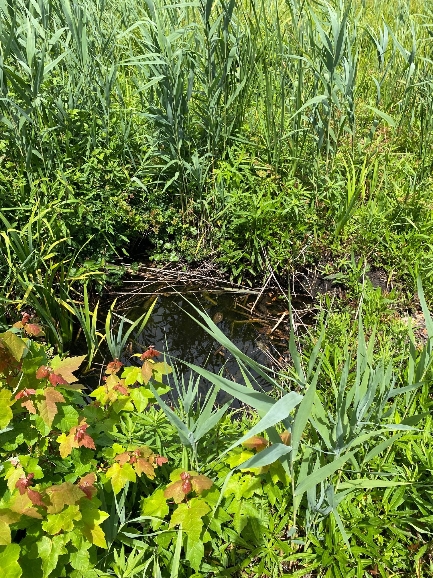
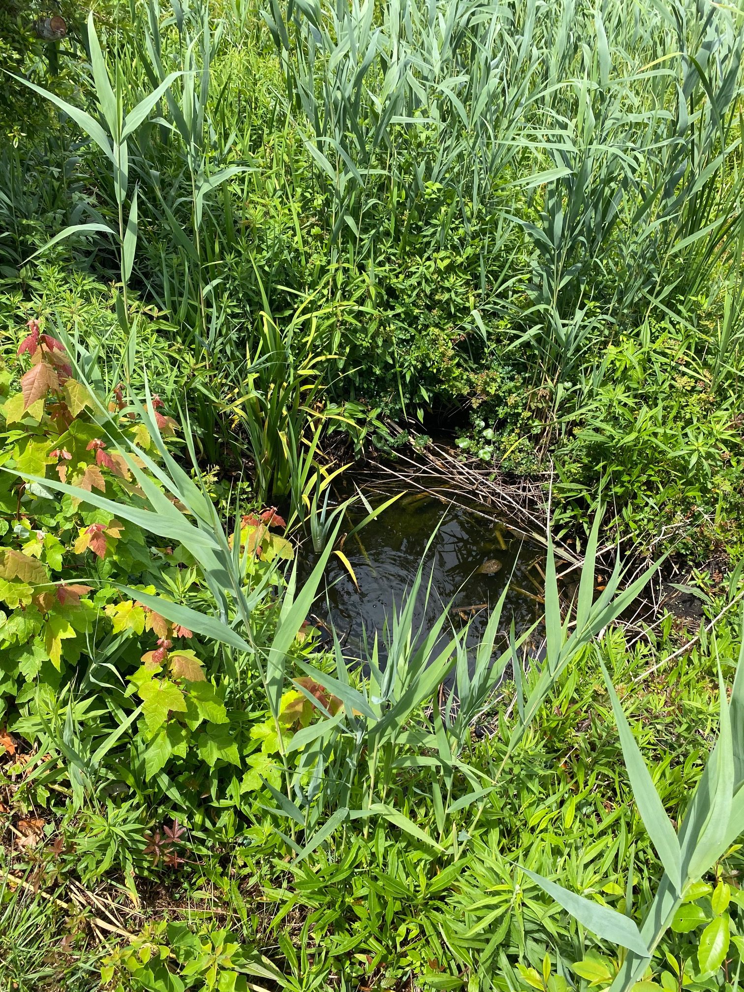
The expansive flat areas coupled with bank and terrace areas around the Lake provide for a large stormwater storage volume with a relatively small increase in Lake depth. Due to all the aquatic vegetation around the Lake, as well as mixed marshes, this created an excellent cleansing process of the stormwater before it enters the open water of Landfall Lake and eventually into Horseshoe Lake. These areas have also created homes for a wide variety of wildlife.
The Lake has an engineered spillway on the southeast side, which controls how long it takes for the Lake to drawdown to its normal resting level after a stormwater event. The drawdown time is 4.46 days. This gives the stormwater plenty of time to allow for its sediment to settle to the bottom before going through the spillway. Several years of monitoring took place to evaluate the health of the more than 10,000 plants that were planted, as well as wildlife that had moved into the area.
Oversight
In the summer of 2000 the maintenance of Landfall Lake was turned over to the Landfall Council. The Lake has the Army Corp of Engineers, North Carolina Stormwater Division, as well as the Northeast New Hanover Conservancy that permit, oversee and control what maintenance and modifications can be conducted in the area. Over the years many requests have been made to increase water levels, to remove certain vegetation, etc. This could be a very costly endeavor and there is no guarantee the above agencies would allow modifications, even after engineering studies and surveys. In 2018, in response to residents’ query the COA spent about $25,000 on engineering studies to verify that the Lake was not silting in. The study confirmed that the Lake was not silting in, and in fact the Lake was found to retain a greater volume of water than it was originally thought to hold. The expenditure did not alter the Lake’s status but did modify its permit.
We receive resident requests periodically related to the level of the water in the Lake. This level of water is managed internally by the pipes that outlet into the Lake and the spillway which manages the overflow out of the Lake, all making up the outfall structure. The Lake was designed to be self-sustaining and intended to be left in its natural state as a protected wetland area. In the event of required maintenance or extreme water levels, Landfall COA has the ability to minimally affect water levels within certain parameters to maintain and/or protect property, temporarily under governmental authority. We are not, at any time, to voluntarily alter this natural preserve and stormwater mitigation facility without approval and in conjunction with these governmental organizations. The purpose of the Lake’s design is for the plantings and vegetation to act as a filtration for water run off before the water reaches the Intracoastal Waterway. If the levels are maintained too high, for too long, then this filtration system will not work adequately and we could be subject to fines and additional permitting requirements.
The mitigation for which the Lake was intended, has been deemed a huge success by the oversight bodies and the COA. As a result, the COA Board has taken the stance of allowing the Lake to perform as it was designed and continue to maintain it per the requirements that are in place. As aforementioned, the expense to propose any requested modifications could prove extremely expensive and still may not provide the desired results. Additionally, we have received strong support from some of the governmental agencies involved in allowing the area to naturally be maintained as it was intended.
Maintenance
Landfall COA maintenance does monthly, quarterly, semi-annual and annual inspections of the Lake to ensure all systems are working properly. The maintenance and inspections are all documented and every 10 years are turned into the North Carolina Department of Environmental and Natural Resources, a Division of NC Water Quality. Review of these documents and inspection of the Lake are done prior to the renewal of the stormwater permit to ensure that Landfall Lake is in compliance.
Quite often discussion of dredging the Lake comes up. The dredging of the Lake will need to be done when 25% of the original depth of the Lake is filled with sediment. A diminished depth of the Lake might be not just the result of particle settlement (there have been little soil sediment inflows observed) but could be caused by the buildup of decaying vegetation material. The Lake levels were checked in 2018, confirming that the Lake is in compliance and the sedimentation levels determine it to be many years before such a dredging may be required.
It is important for everybody that traverses the .9 miles of sidewalk around the Lake to be mindful of its environmentally sensitive nature. Please dispose of all trash properly and clean up after your pets, not only around the Lake but anywhere in the community. Landfall Lake is the only mitigated lake within Landfall, which is why it has a totally different appearance than any of our other lakes or ponds. Rather than looking like a golf course pond, much like the majority of the ponds seen in Landfall, the Lake takes on a more natural wetland appearance. Although golf course lakes and ponds may be placed in specific locations for the playability of the hole, they are also retention ponds that serve as a filtering area for stormwater runoff in the community. The Landfall Lake Mitigation Conservation area required hundreds of thousands of dollars to be paid by many professional individuals in exchange for other areas of Landfall to exist as we now know and enjoy today.
Please do not hesitate to call with any questions or concerns regarding Landfall Lake, or any other lake, pond, infrastructure, or history regarding Landfall.

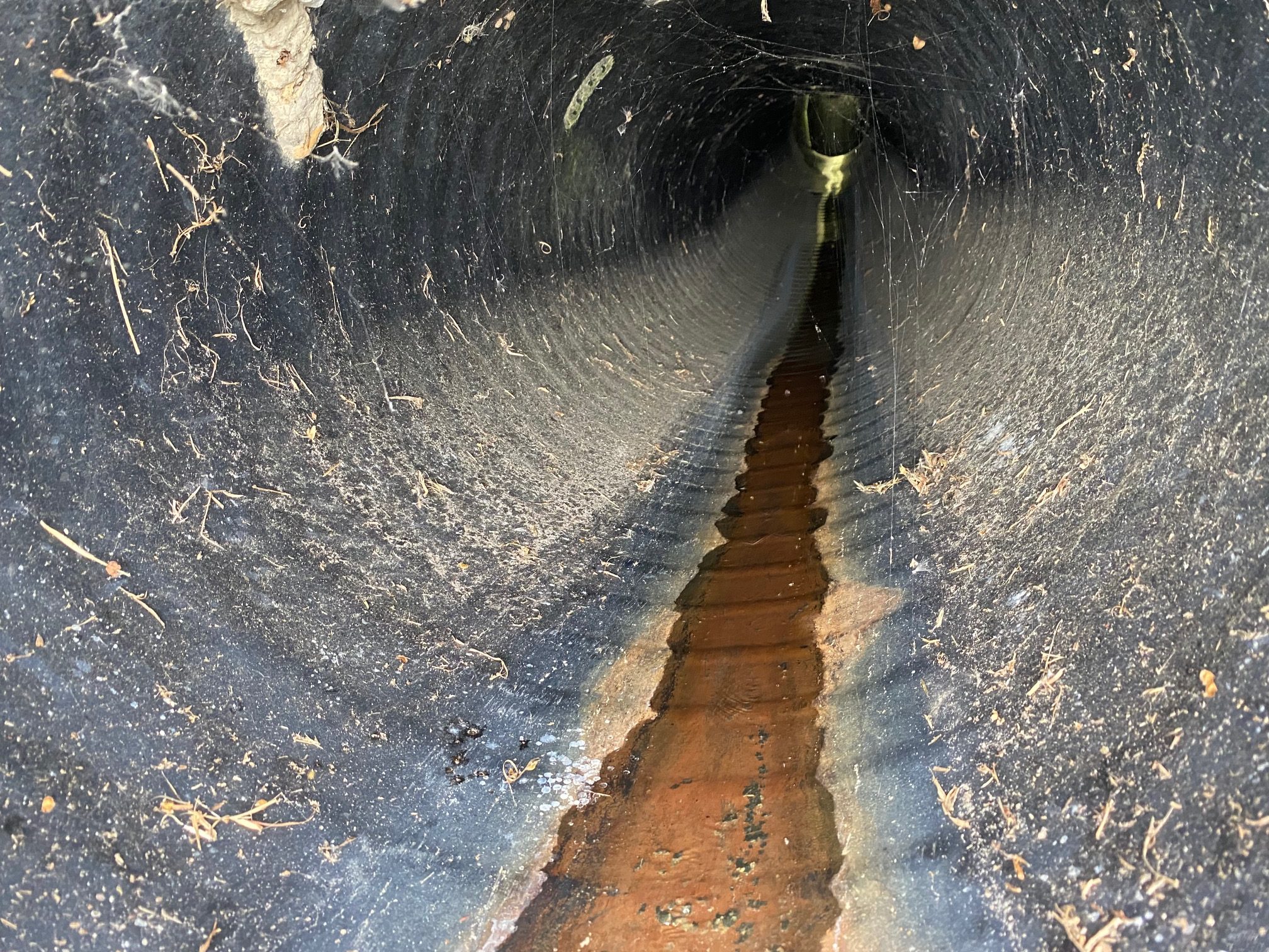
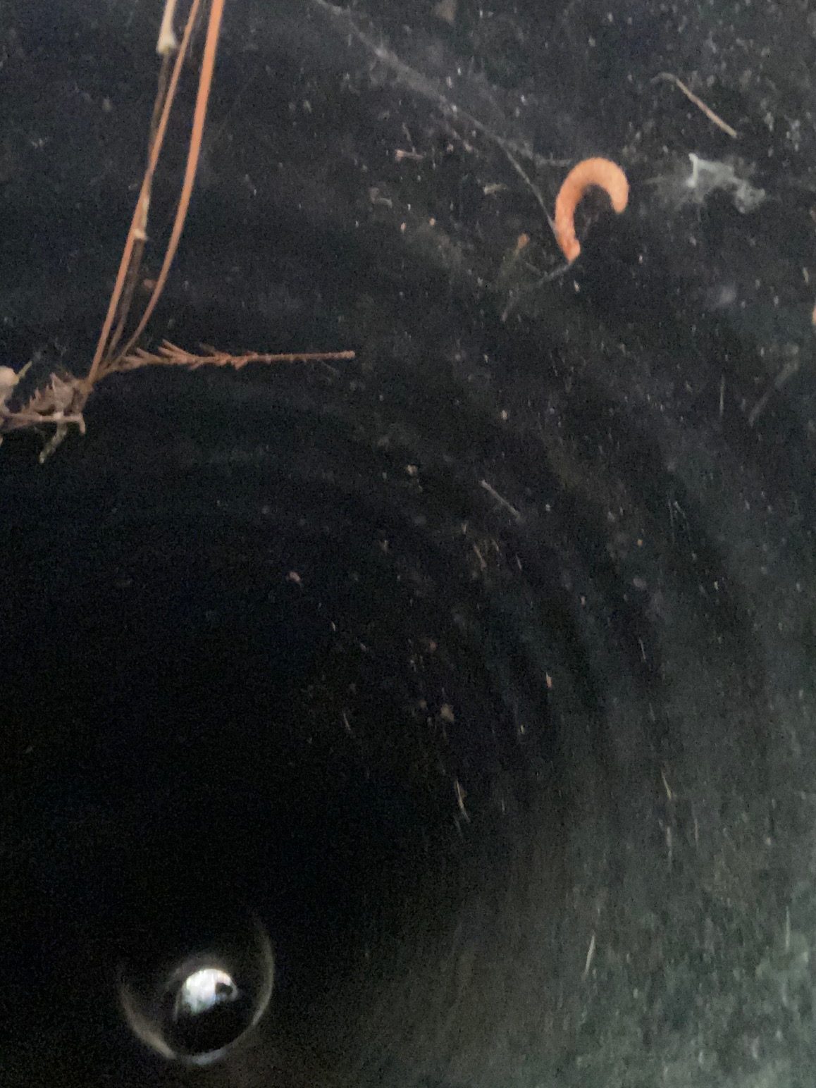
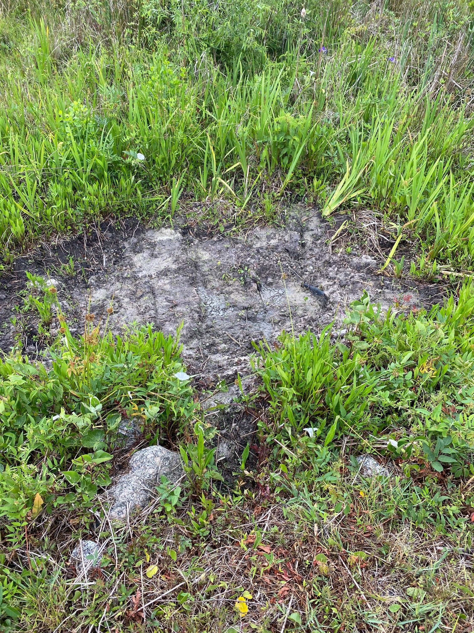
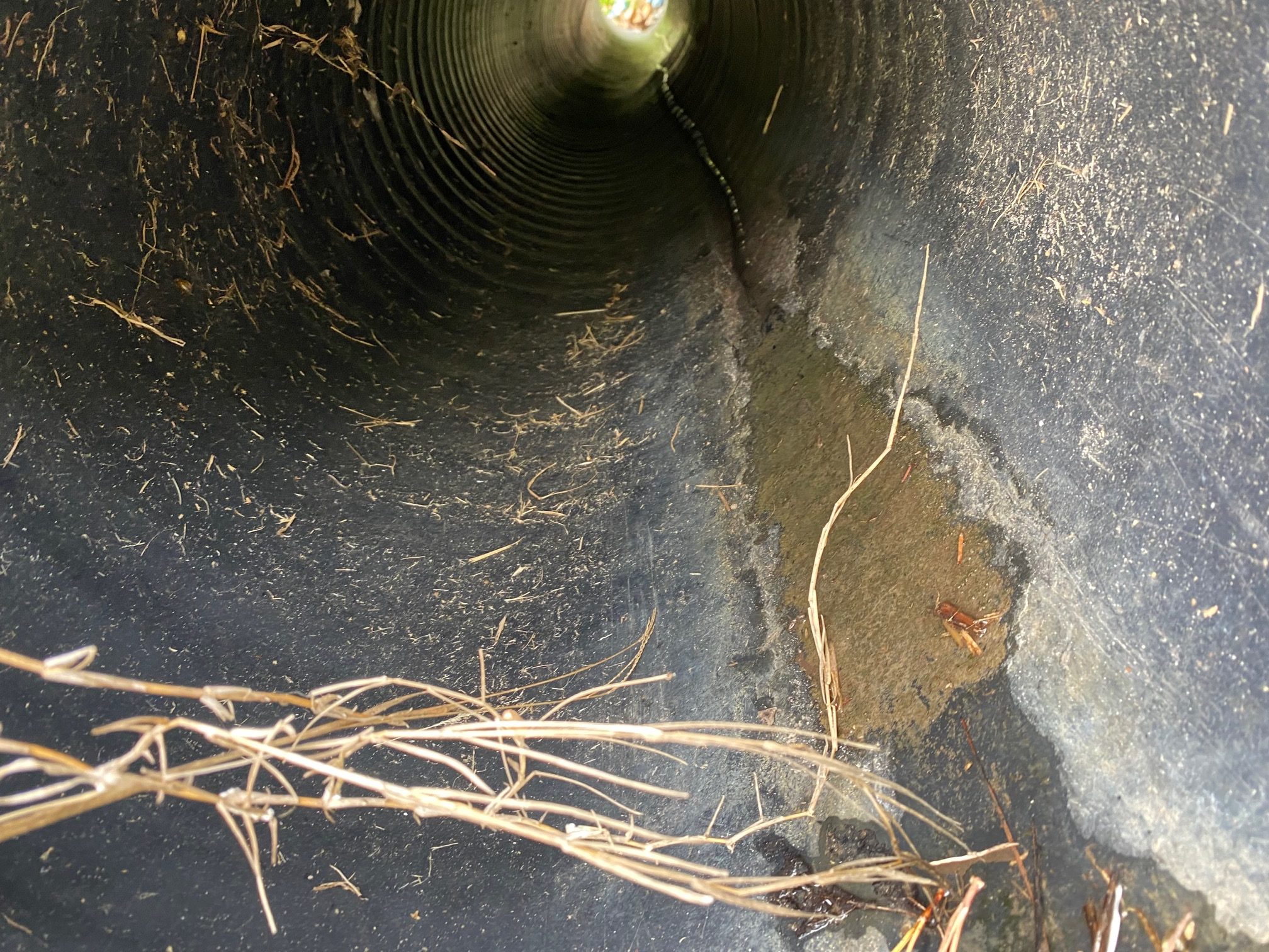
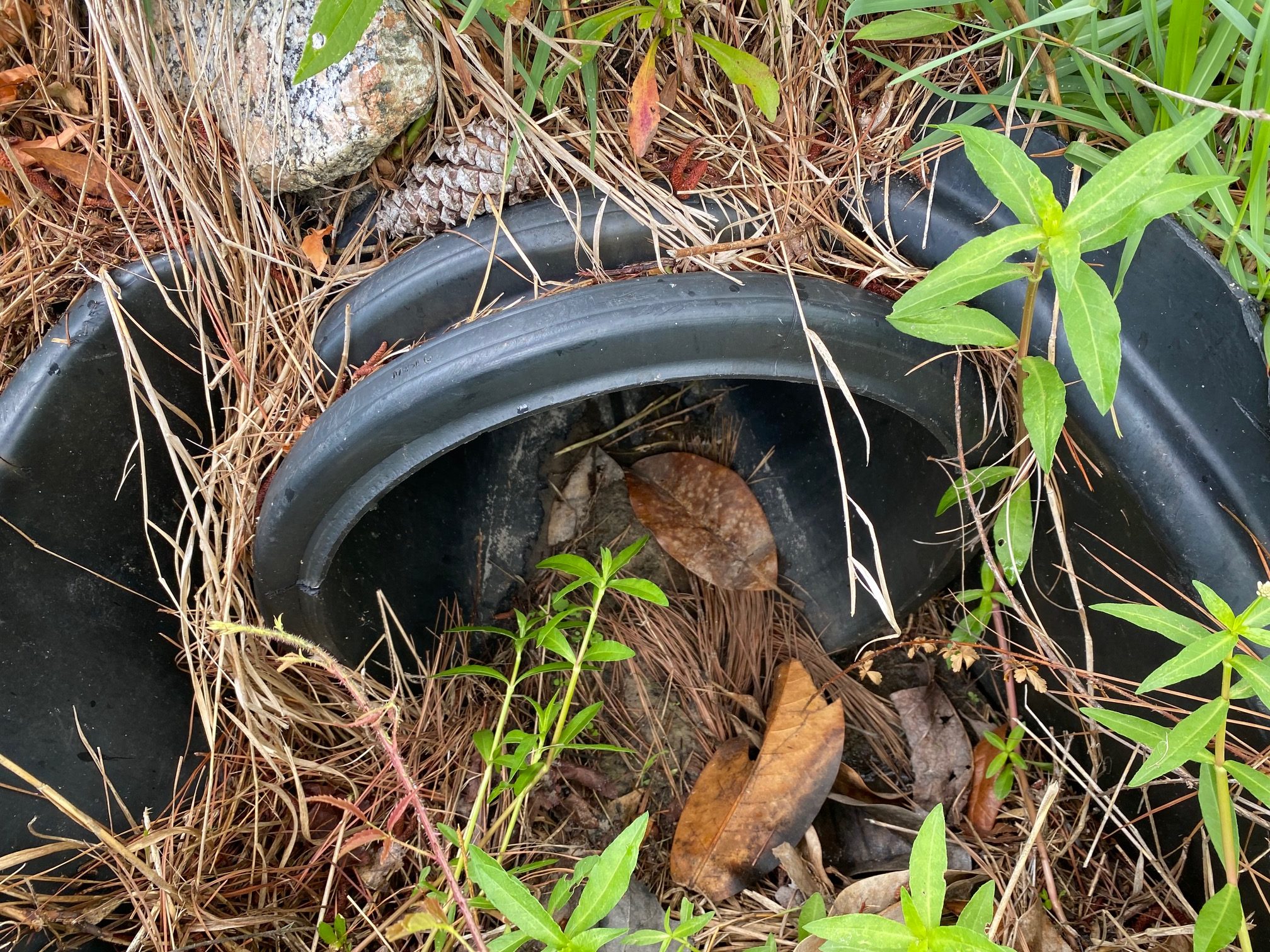
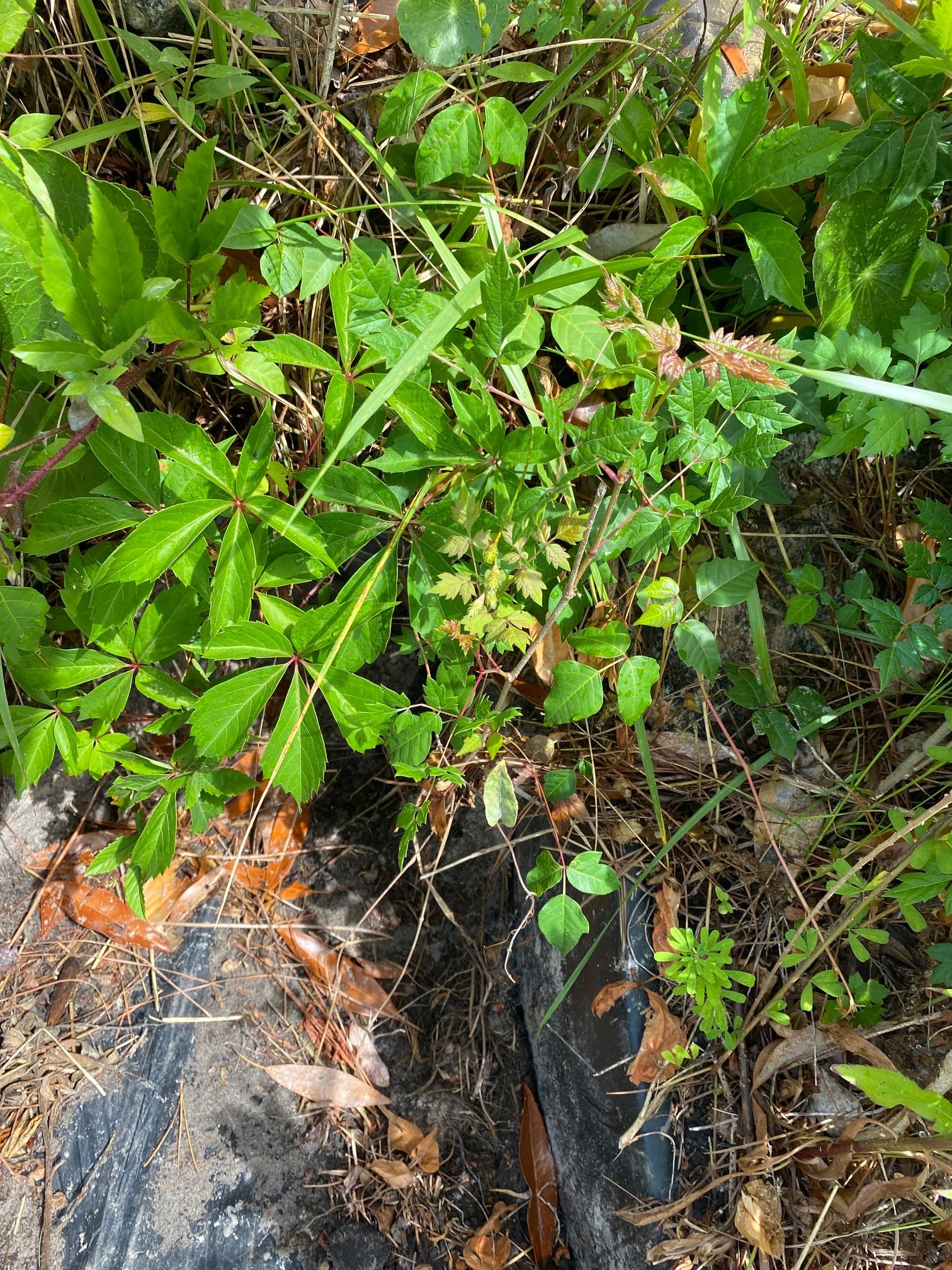
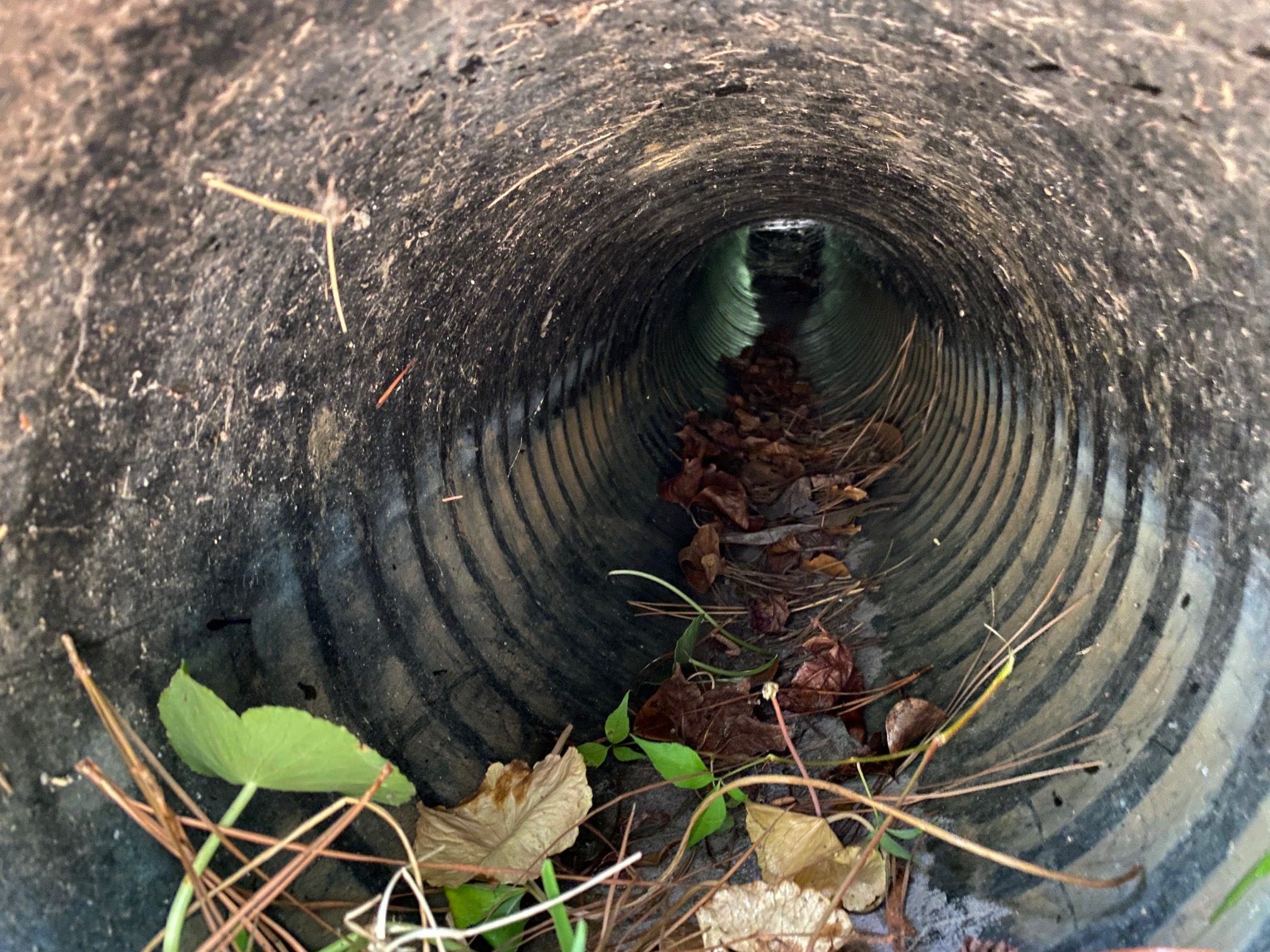
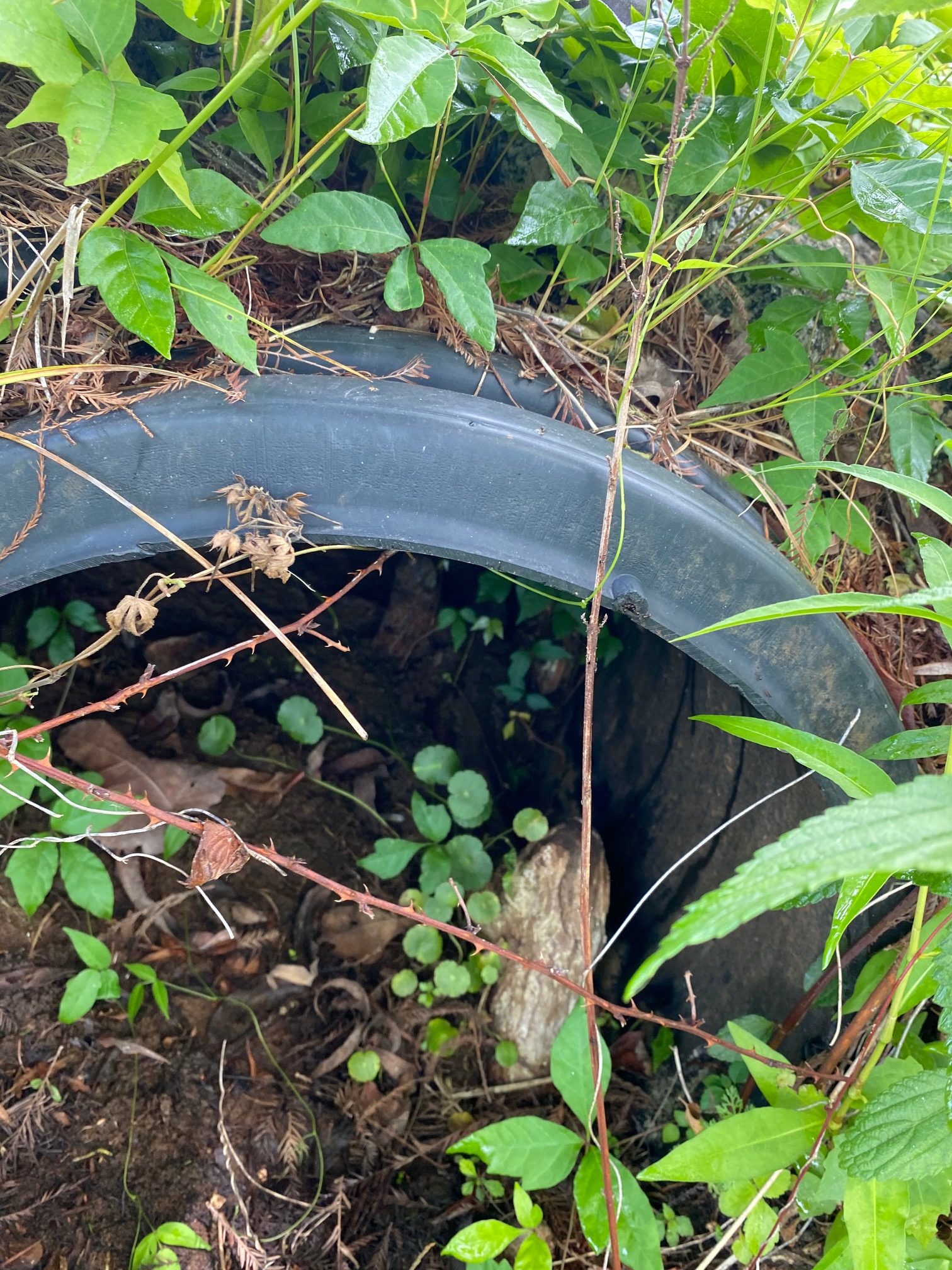
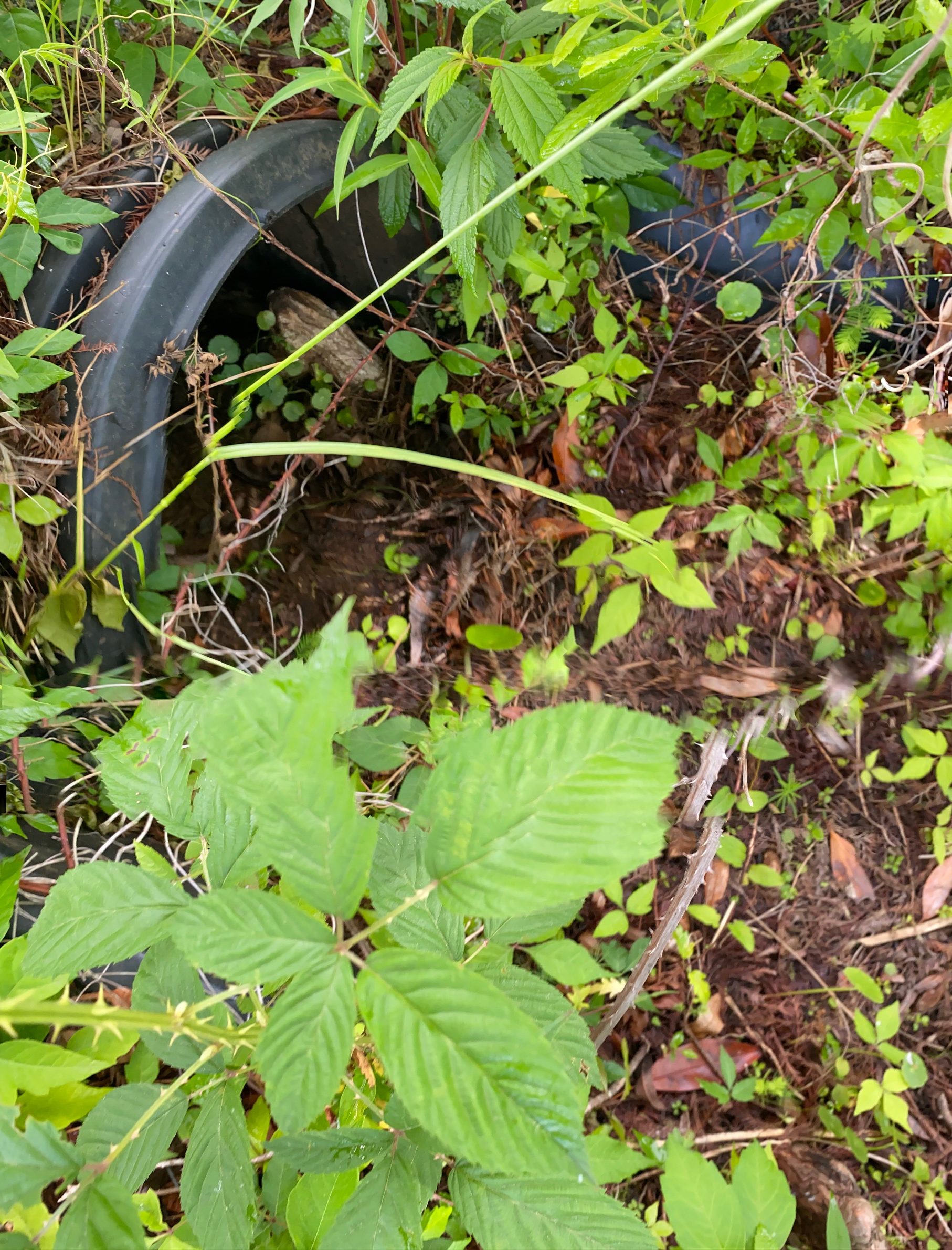
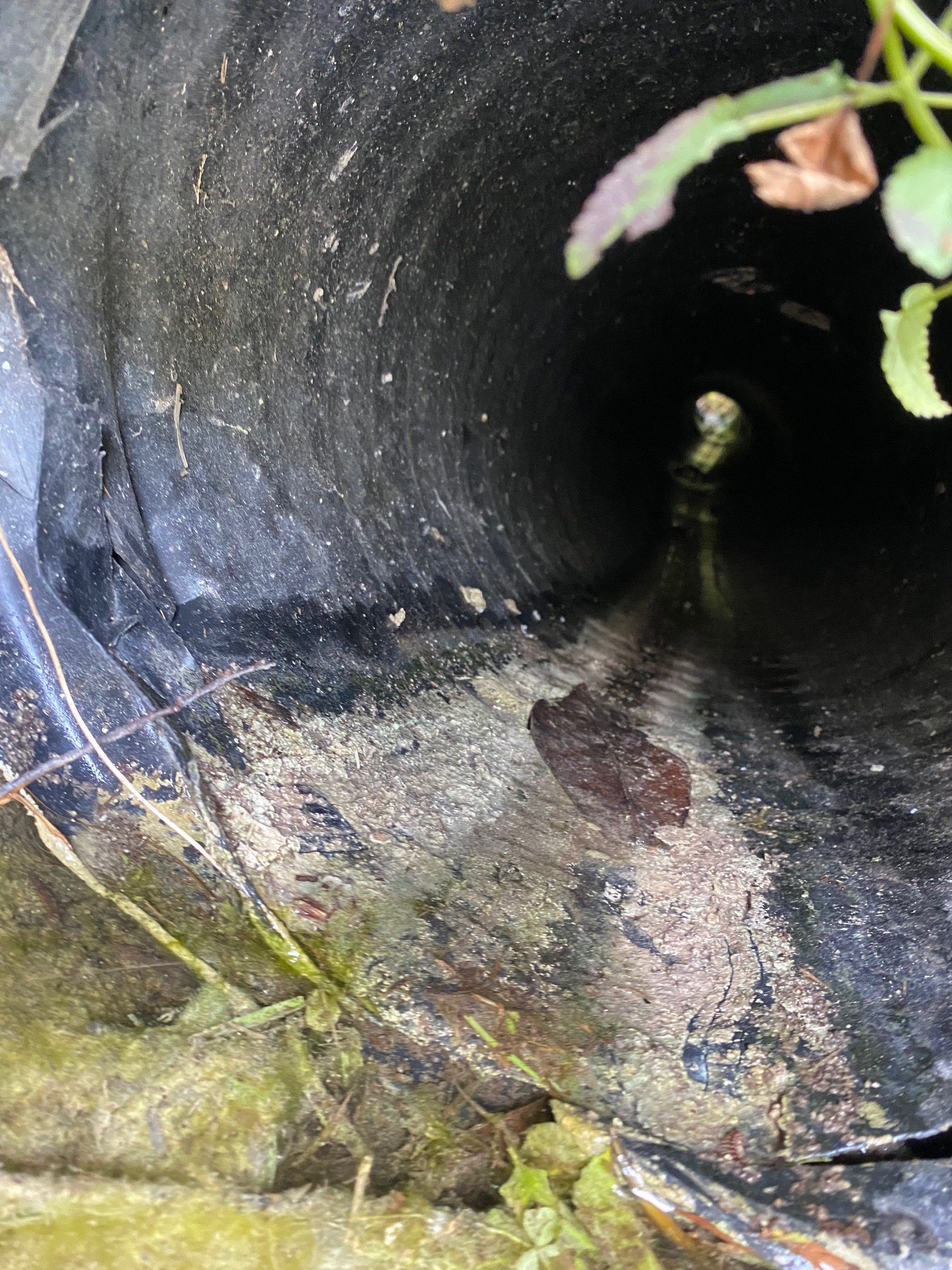
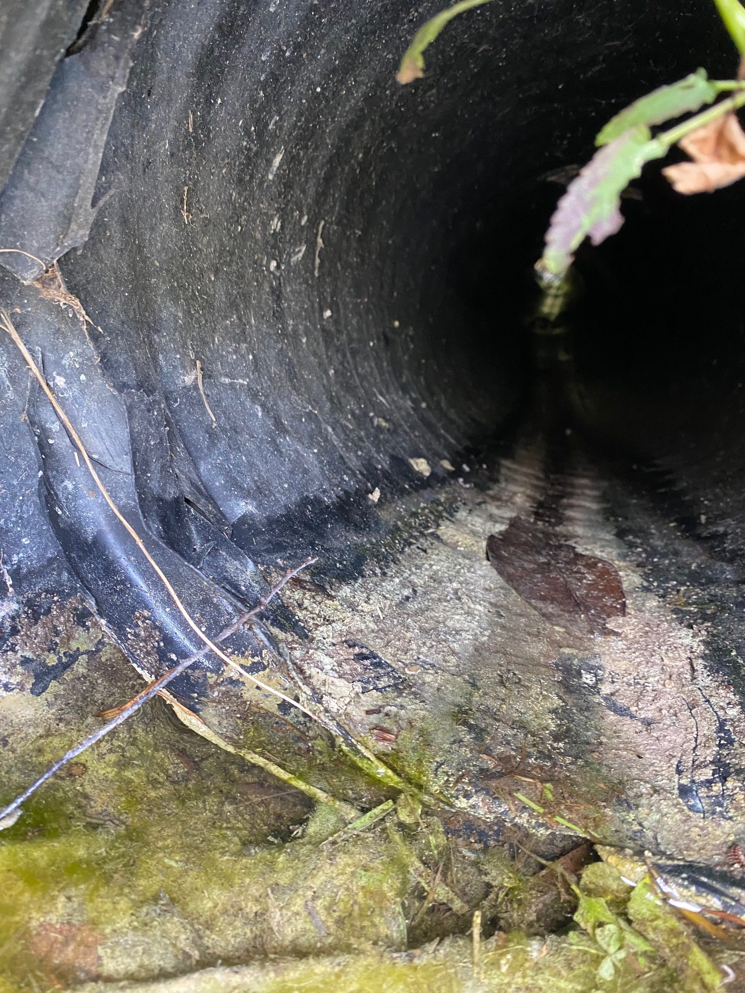
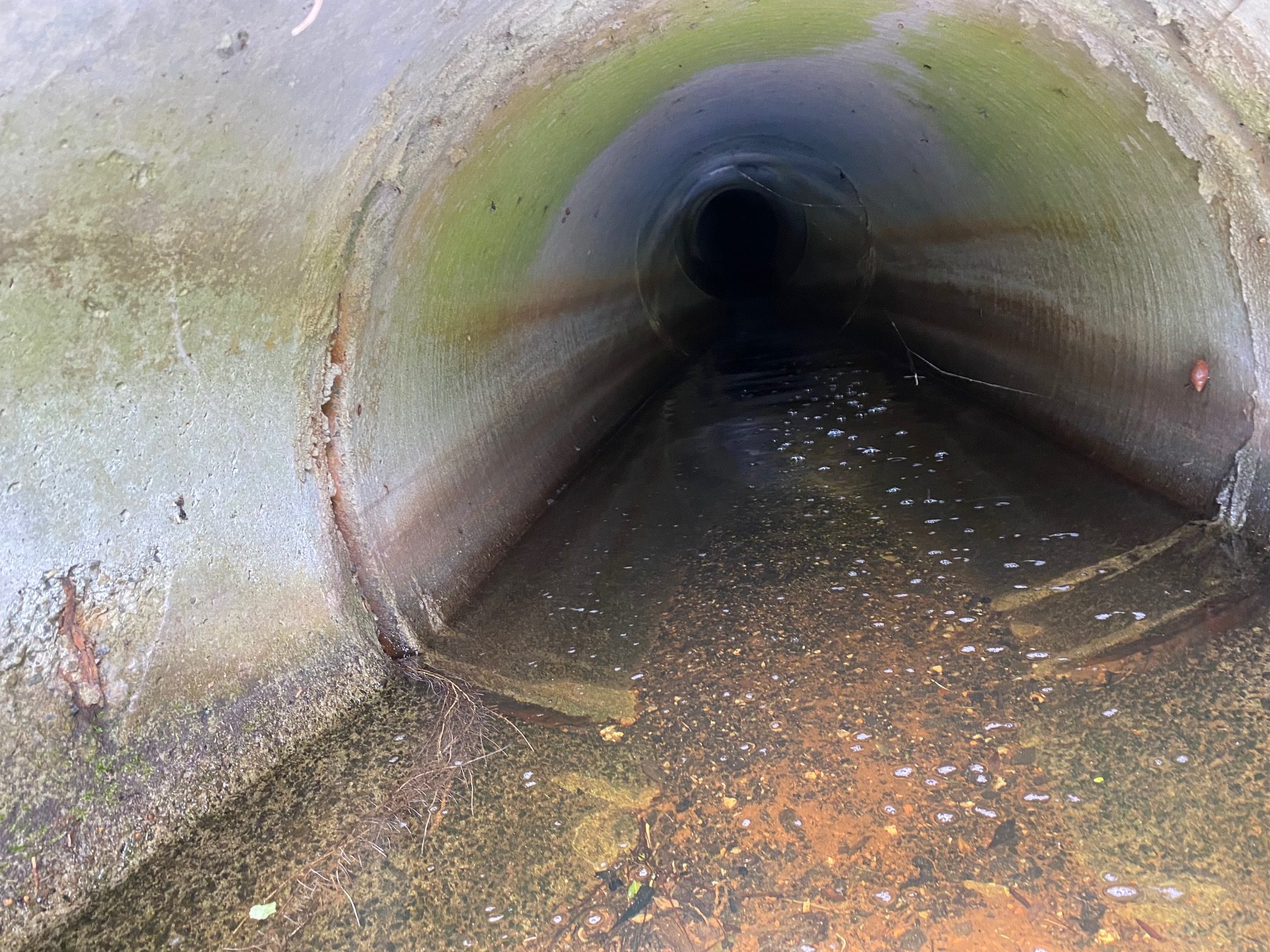
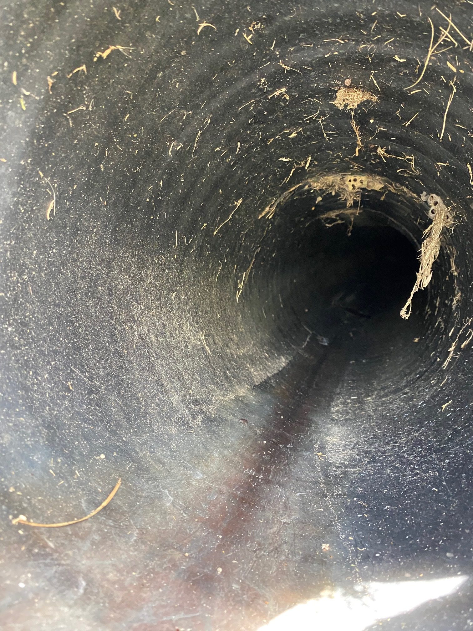
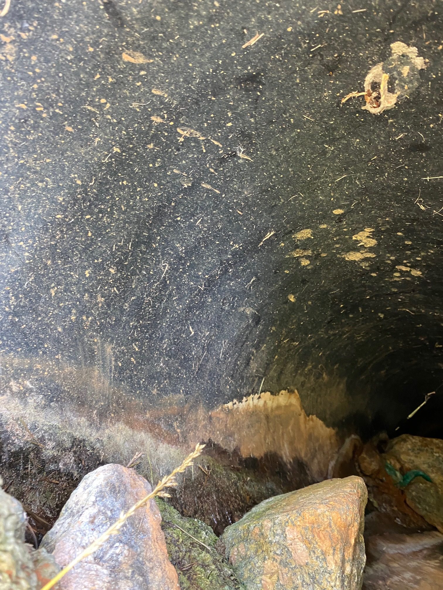
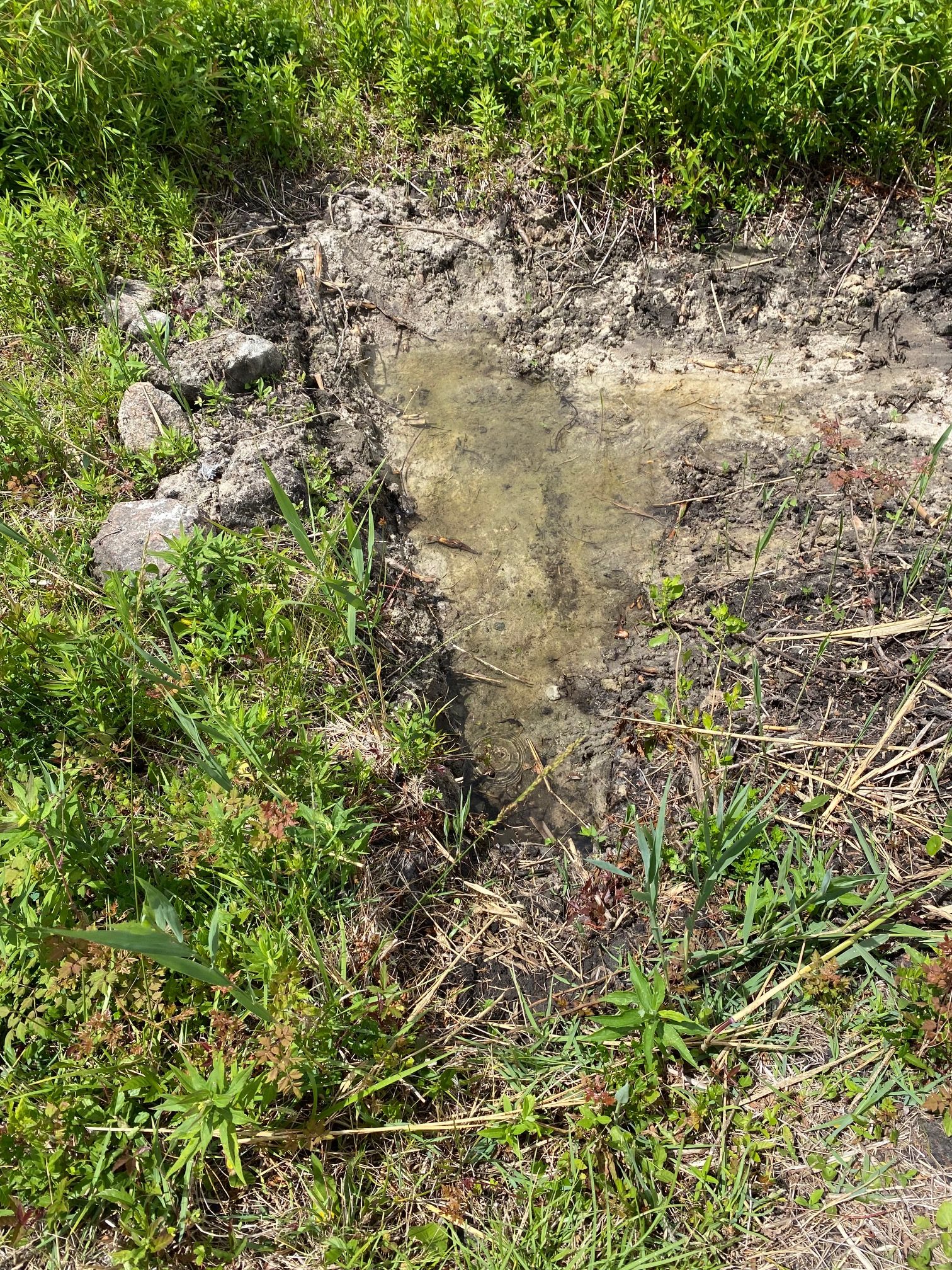
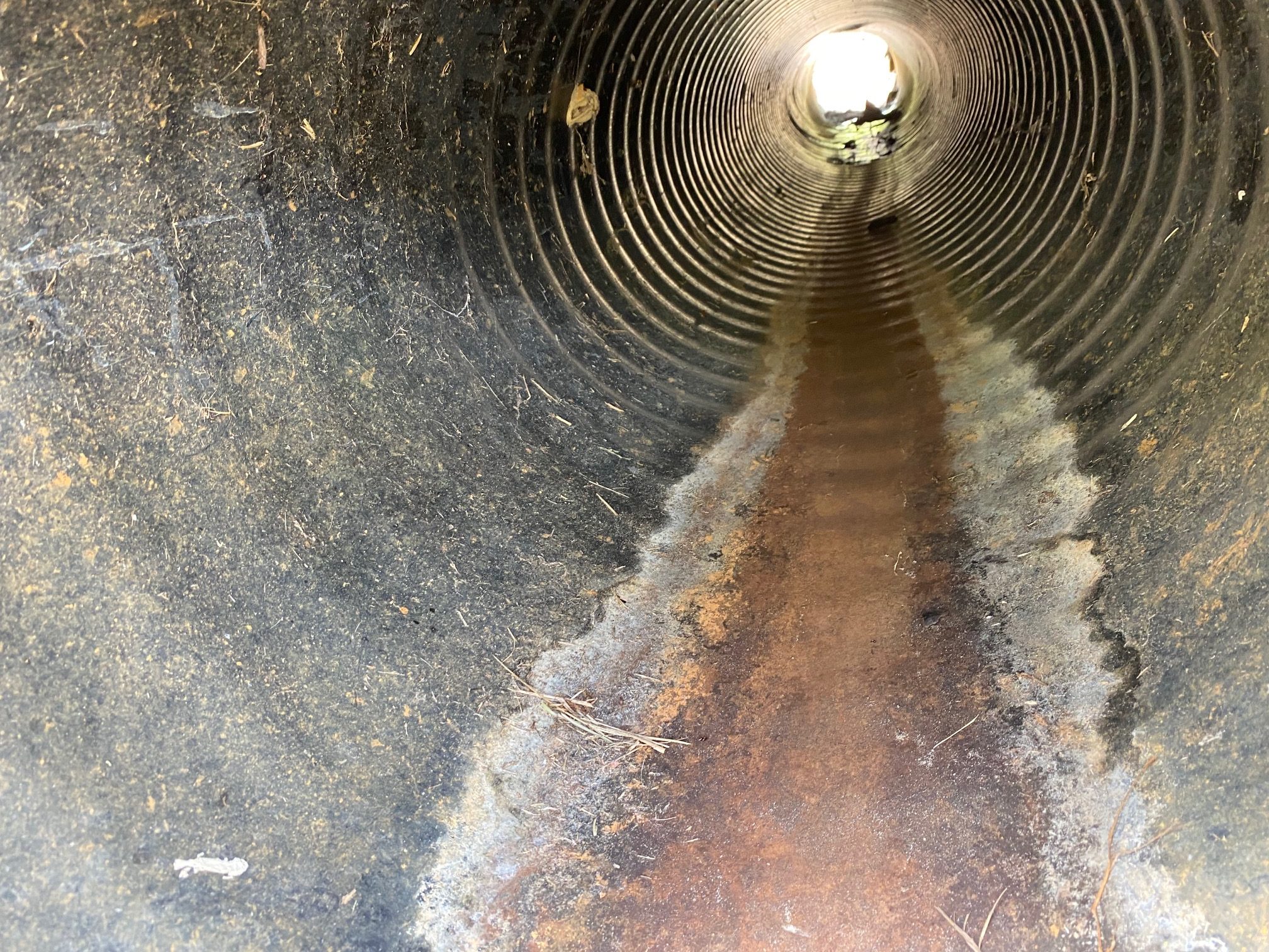
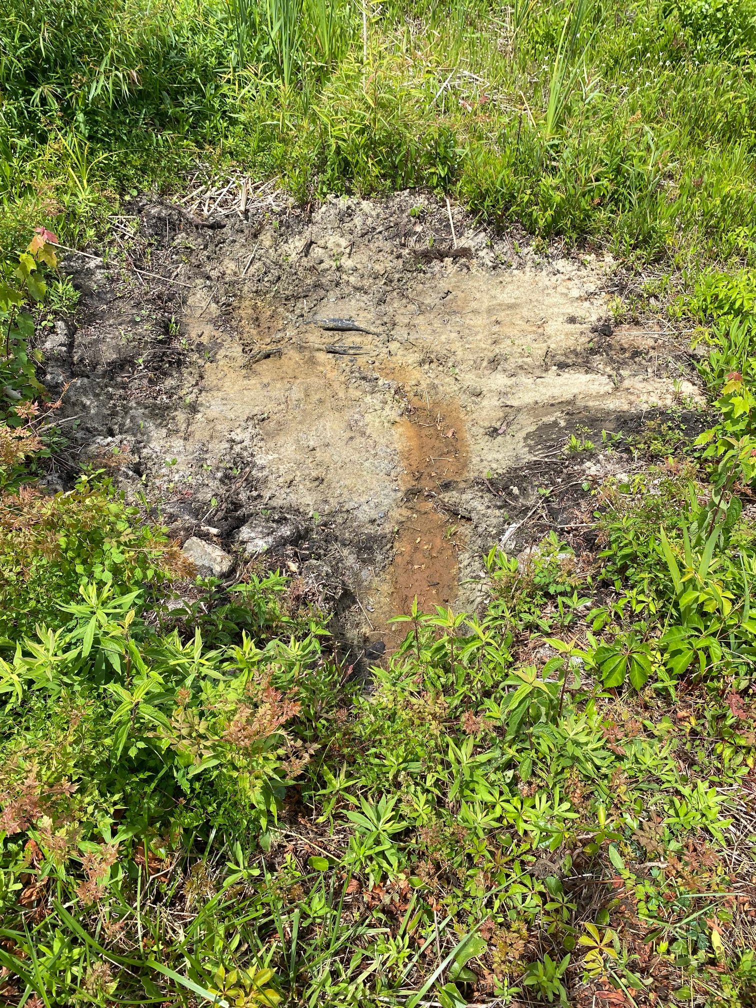
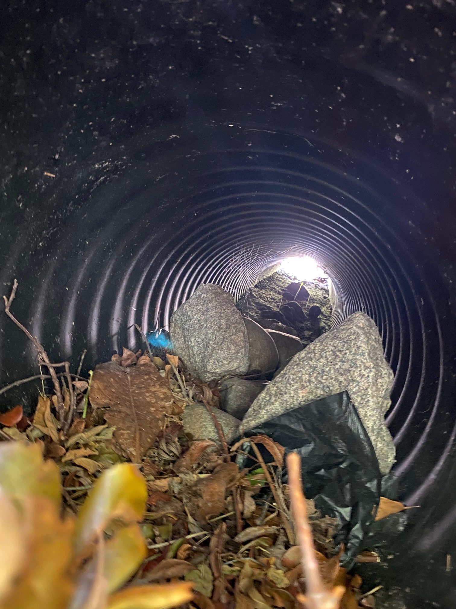
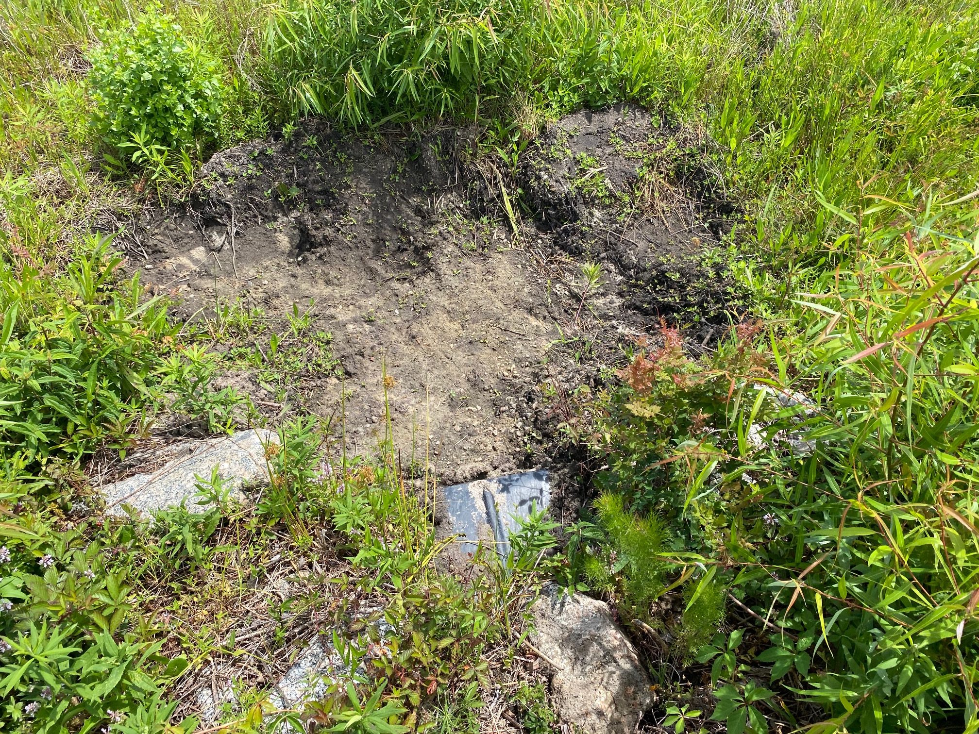
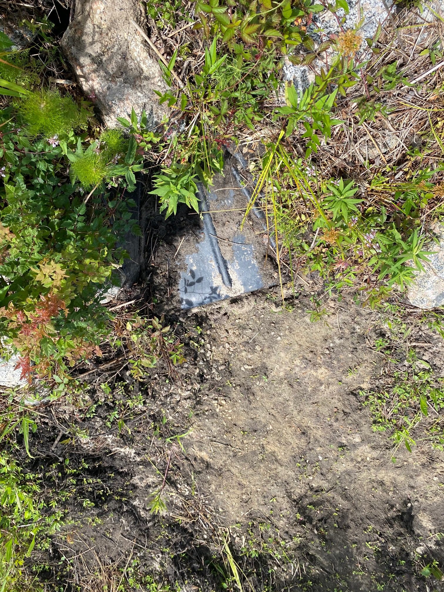
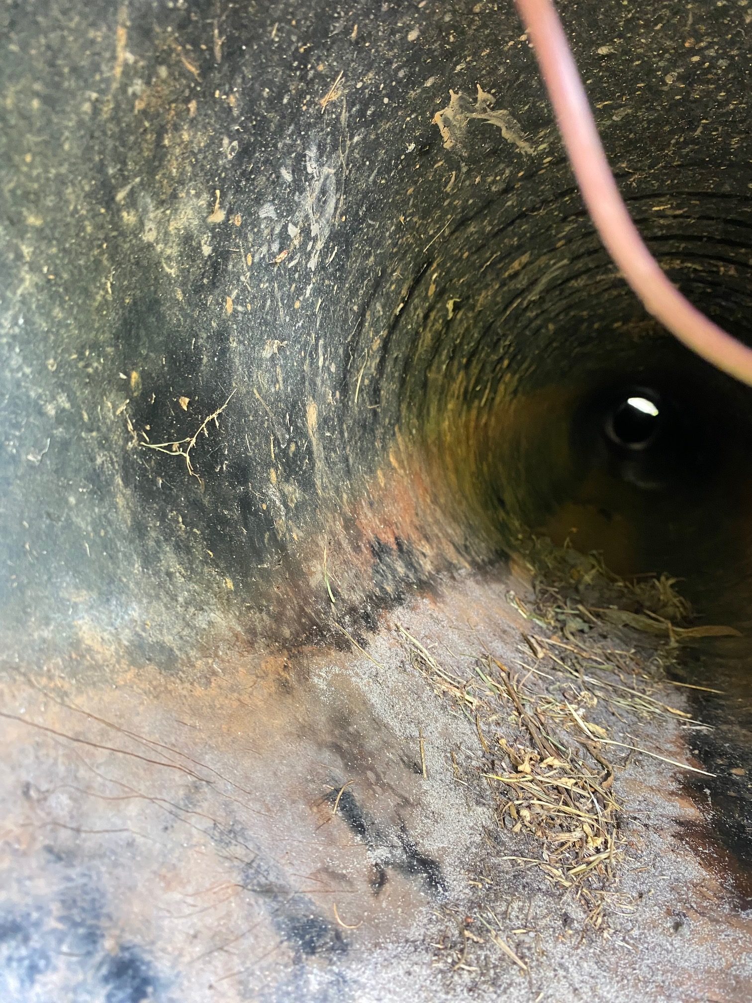
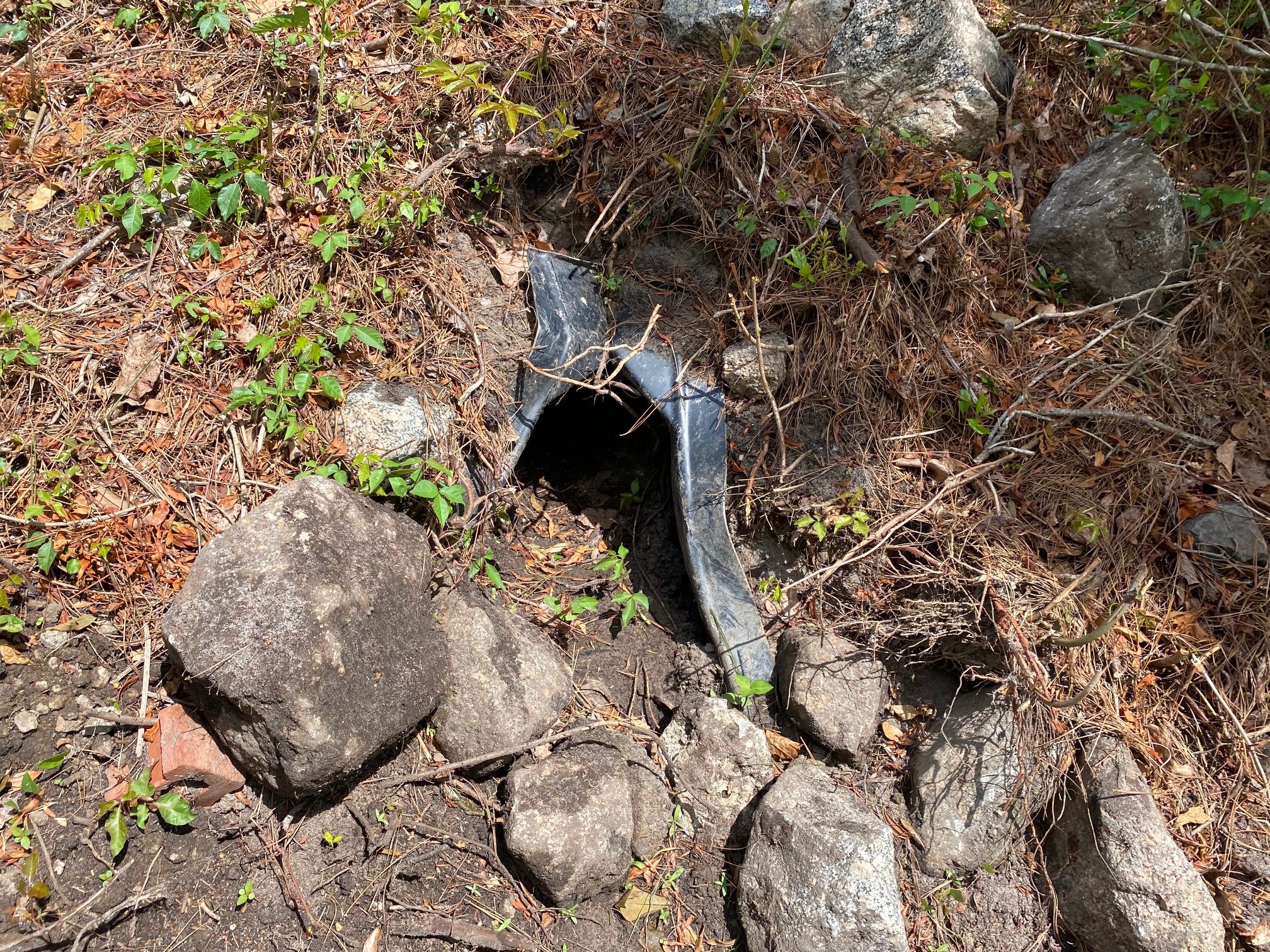
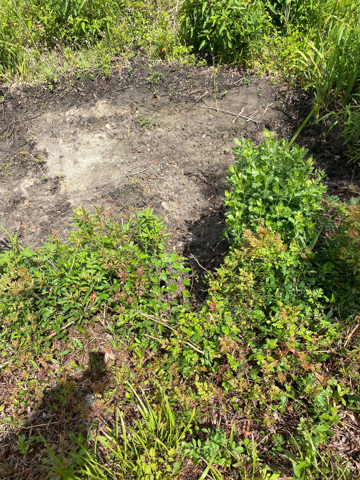
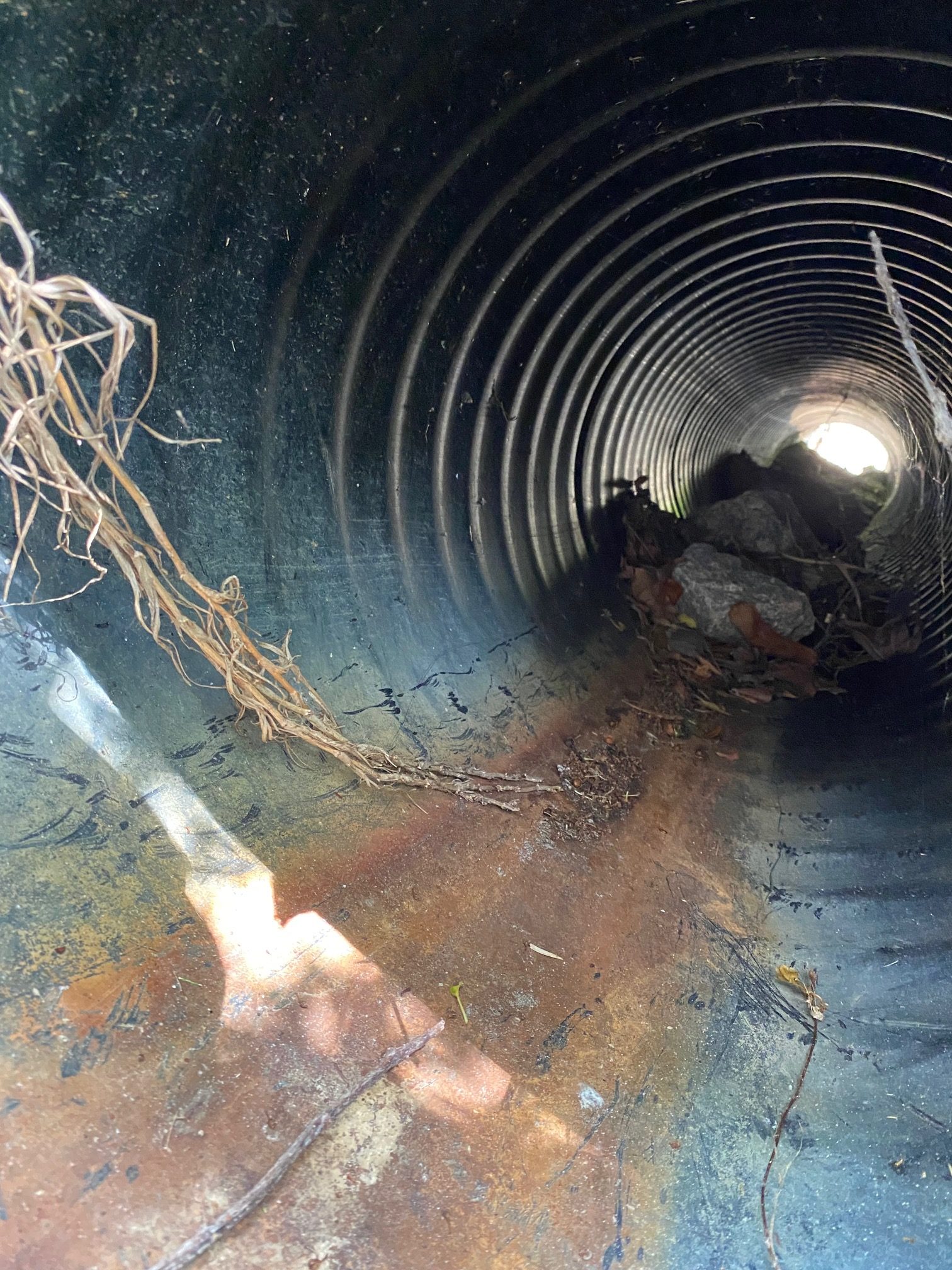
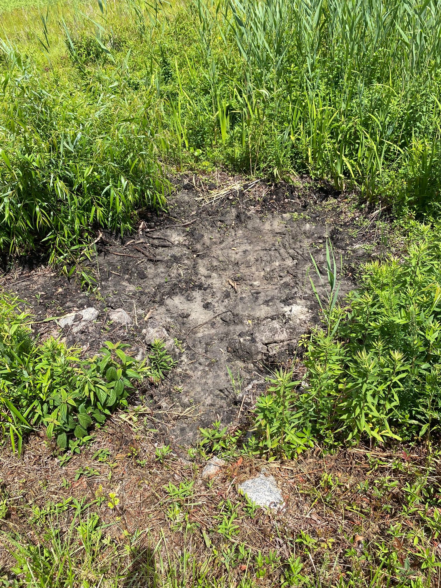
Storm Water Pipe Solutions Inspection May 2022
Report
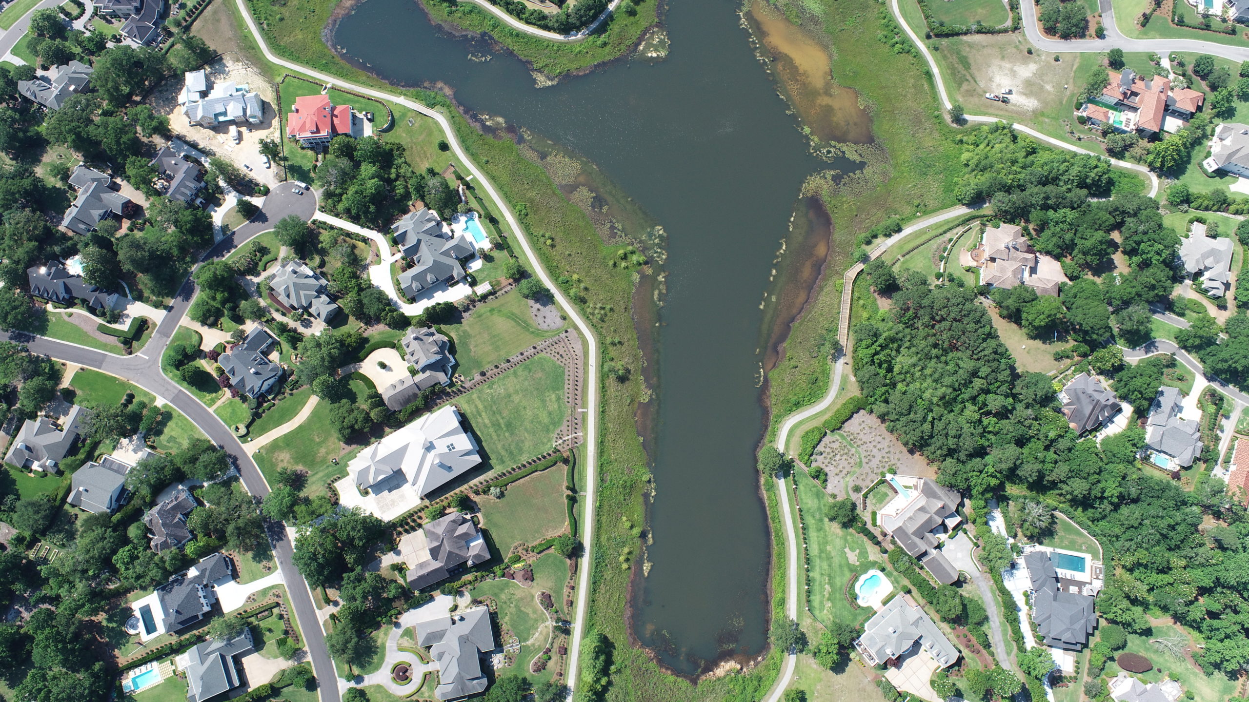
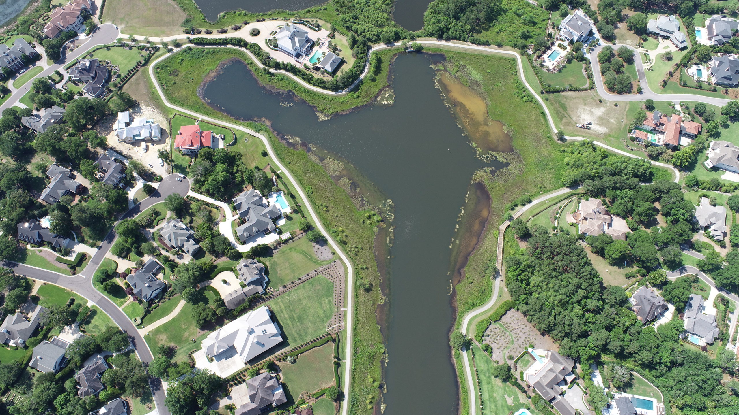
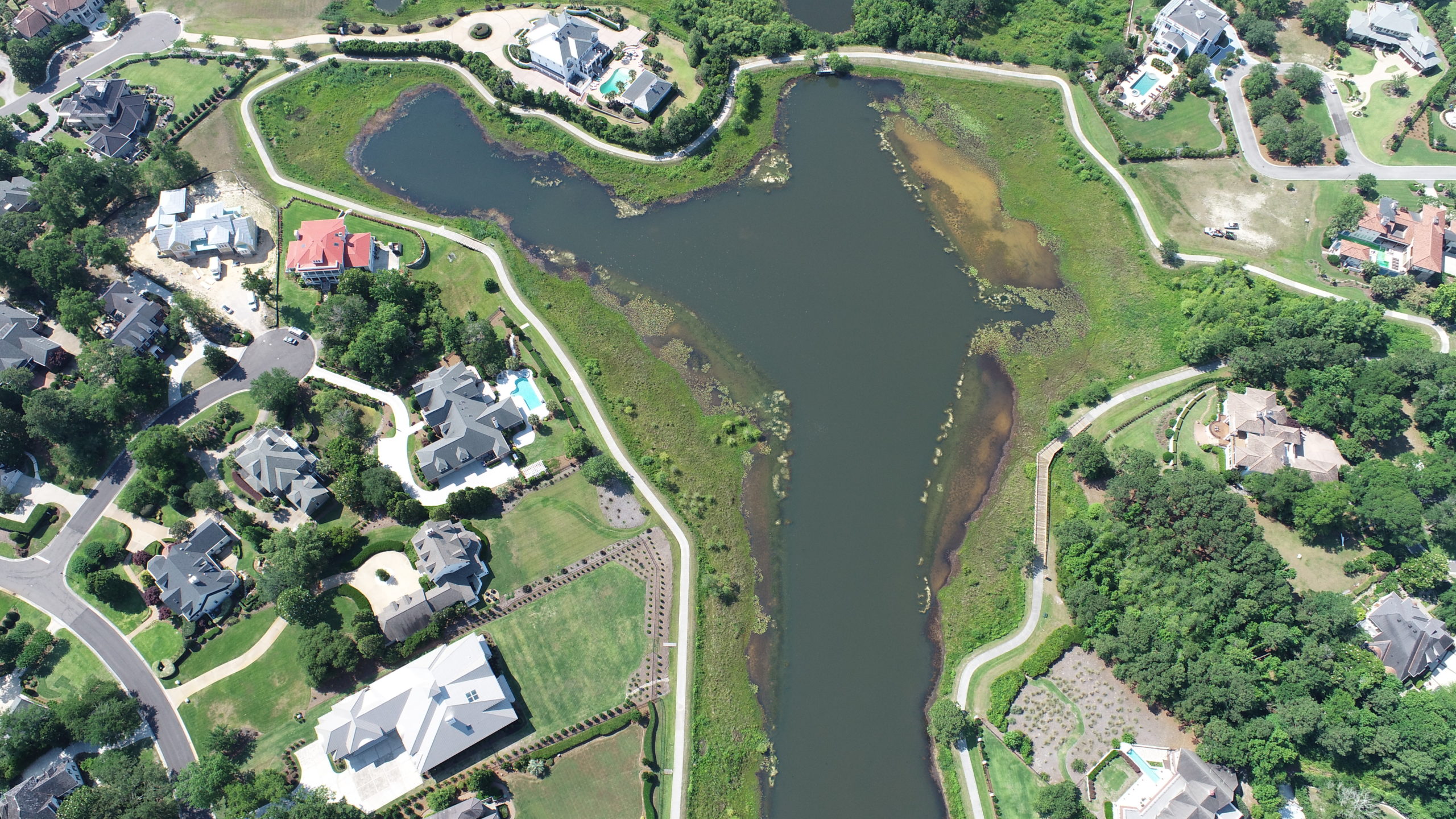
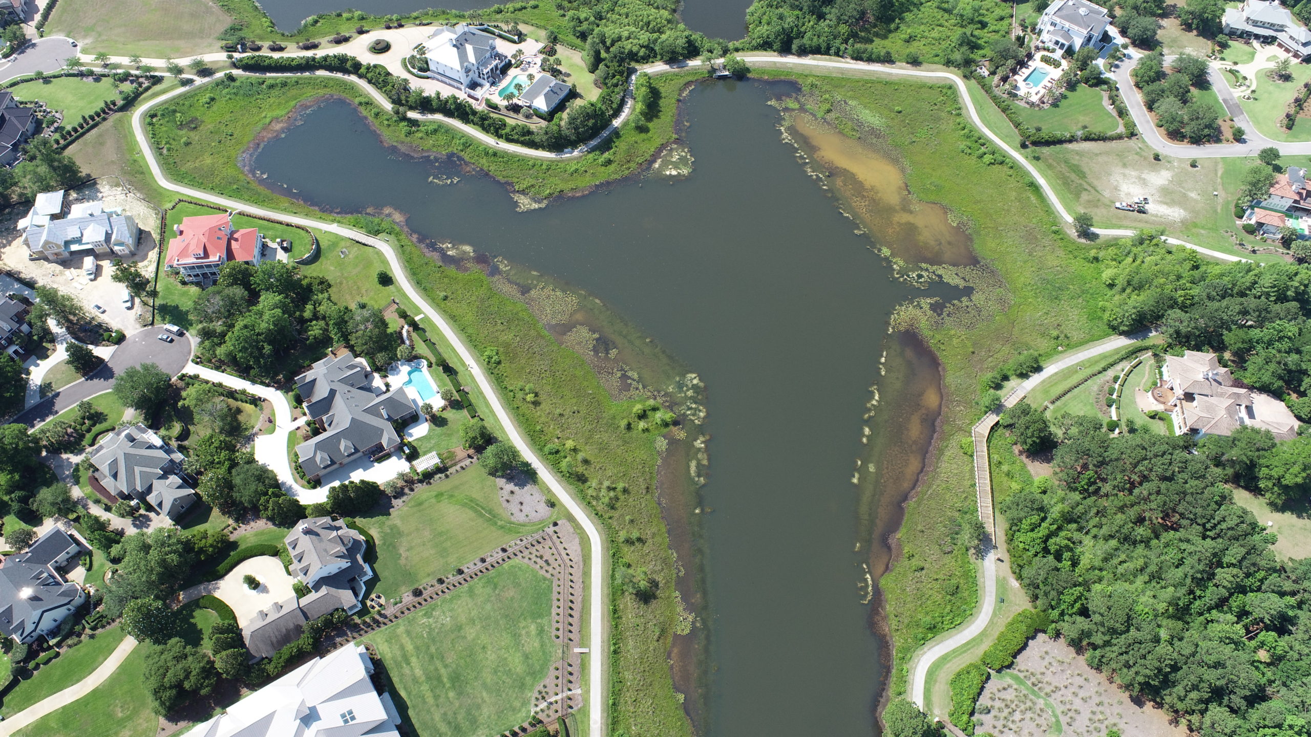

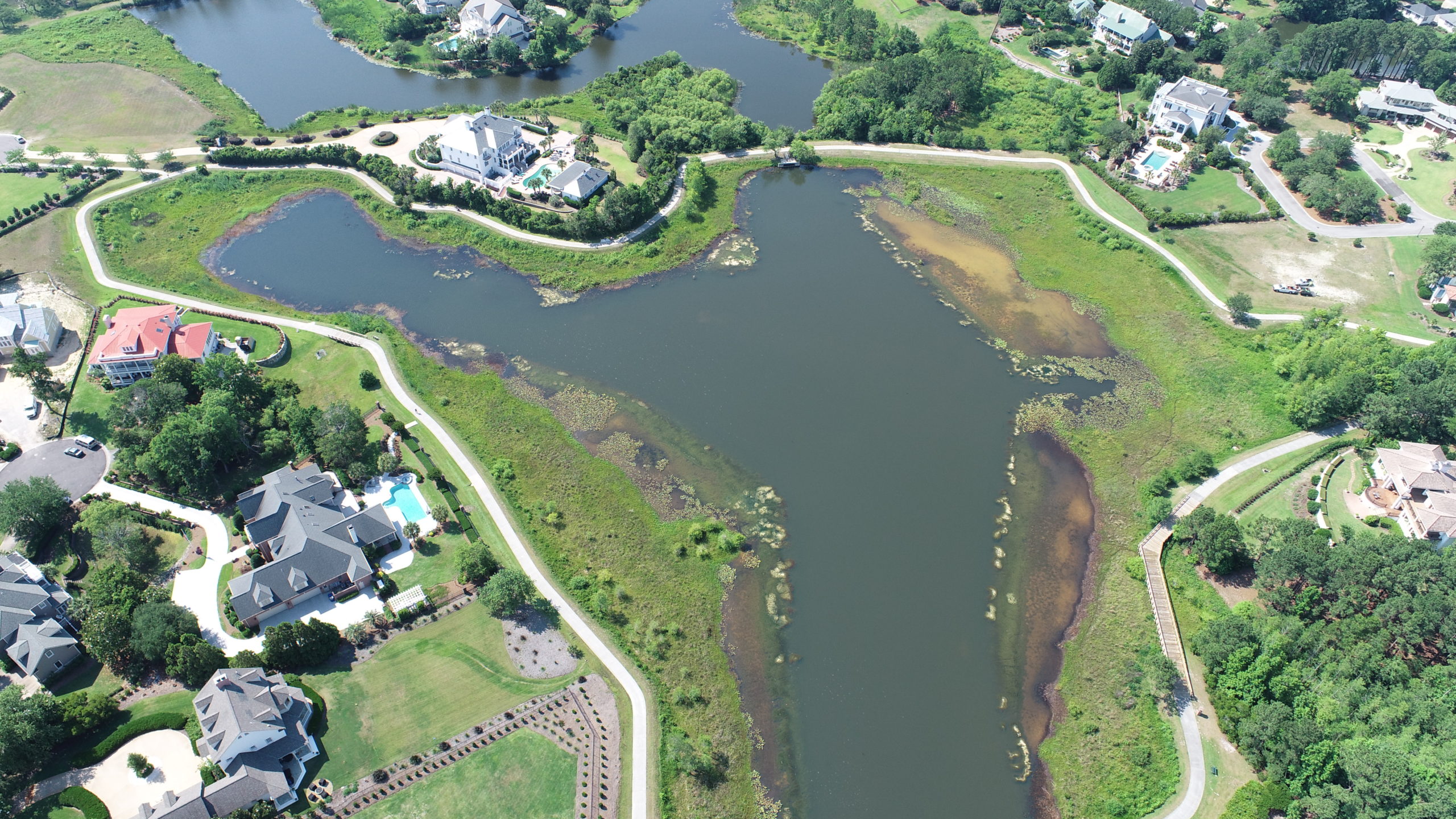

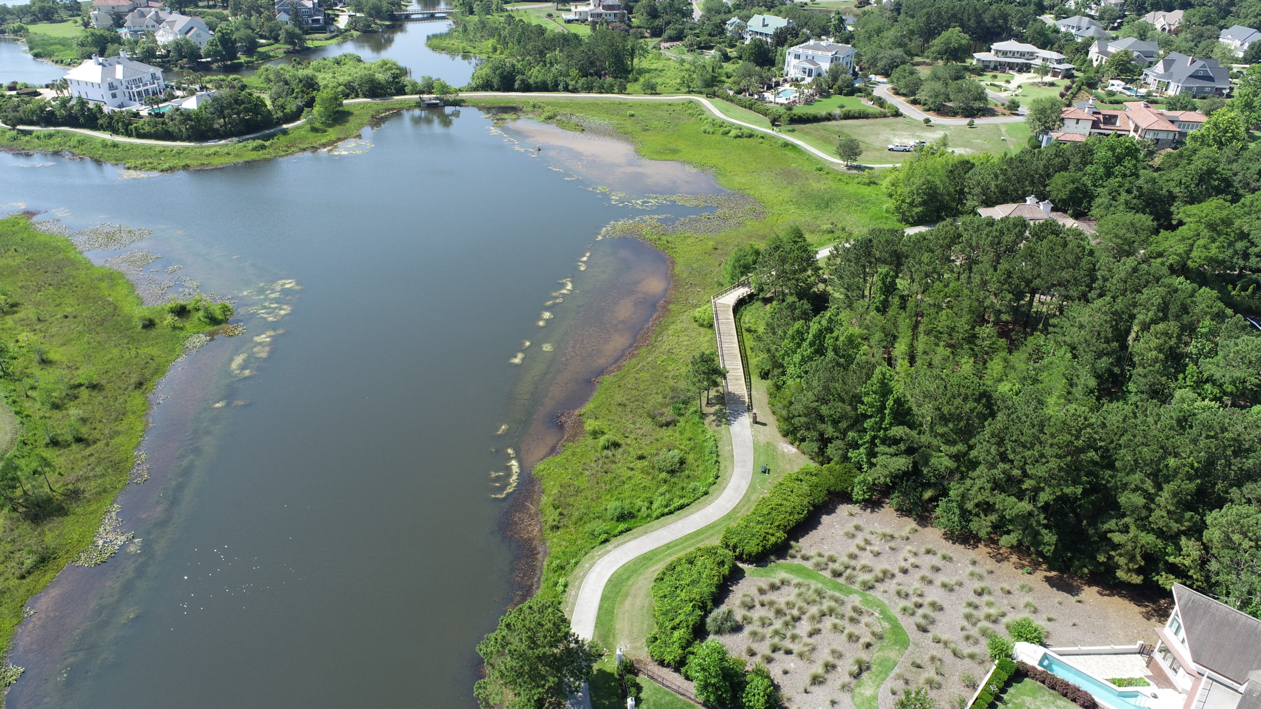
Storm Water Pipe Solutions Inspection May 2022
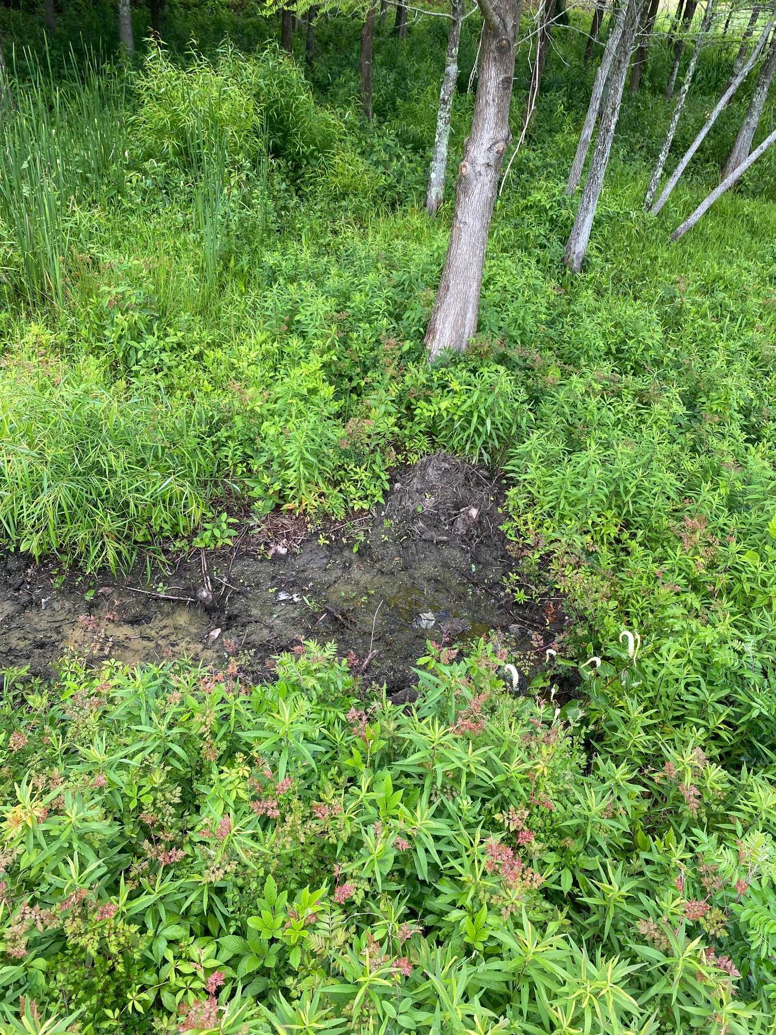
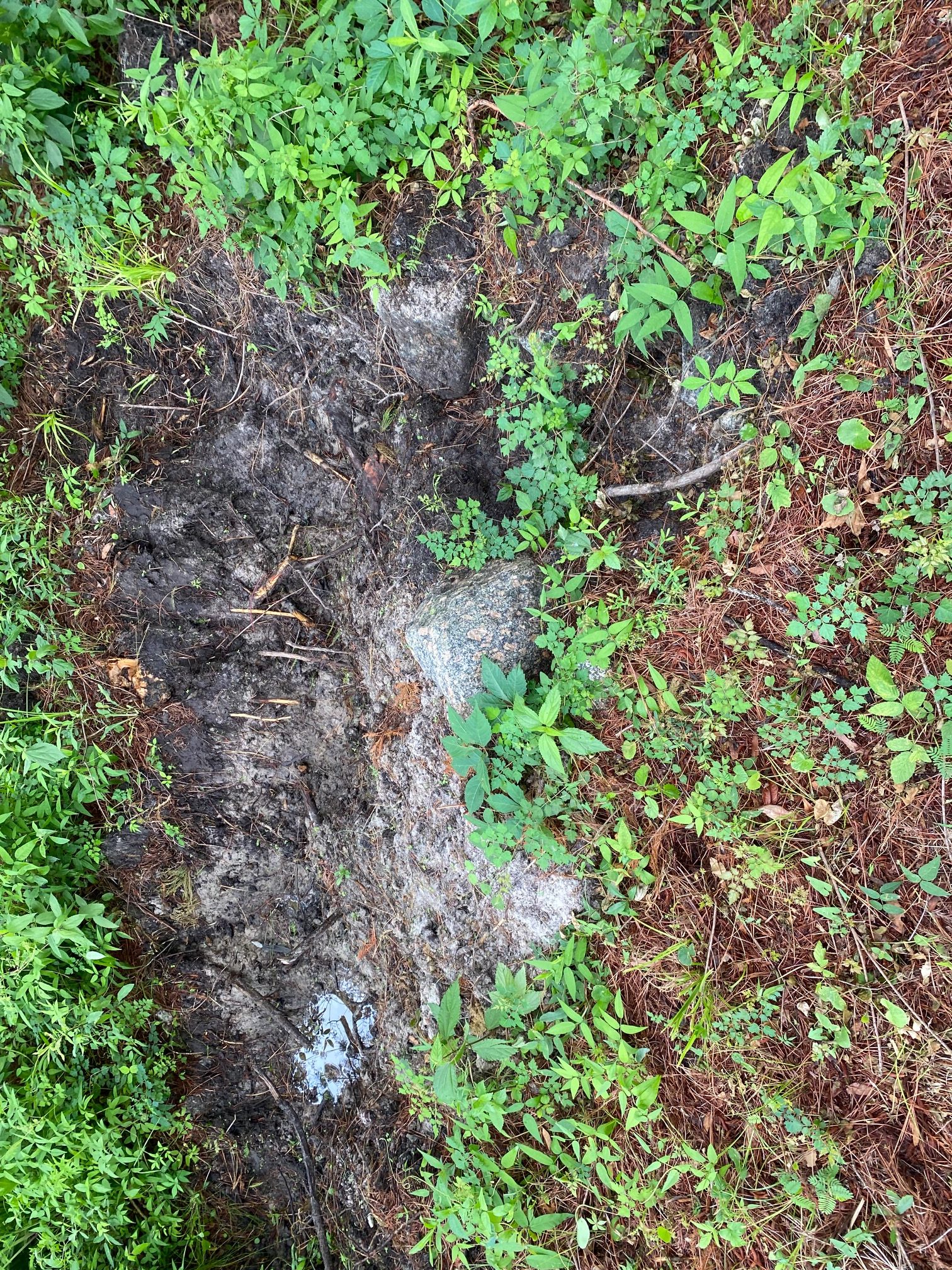
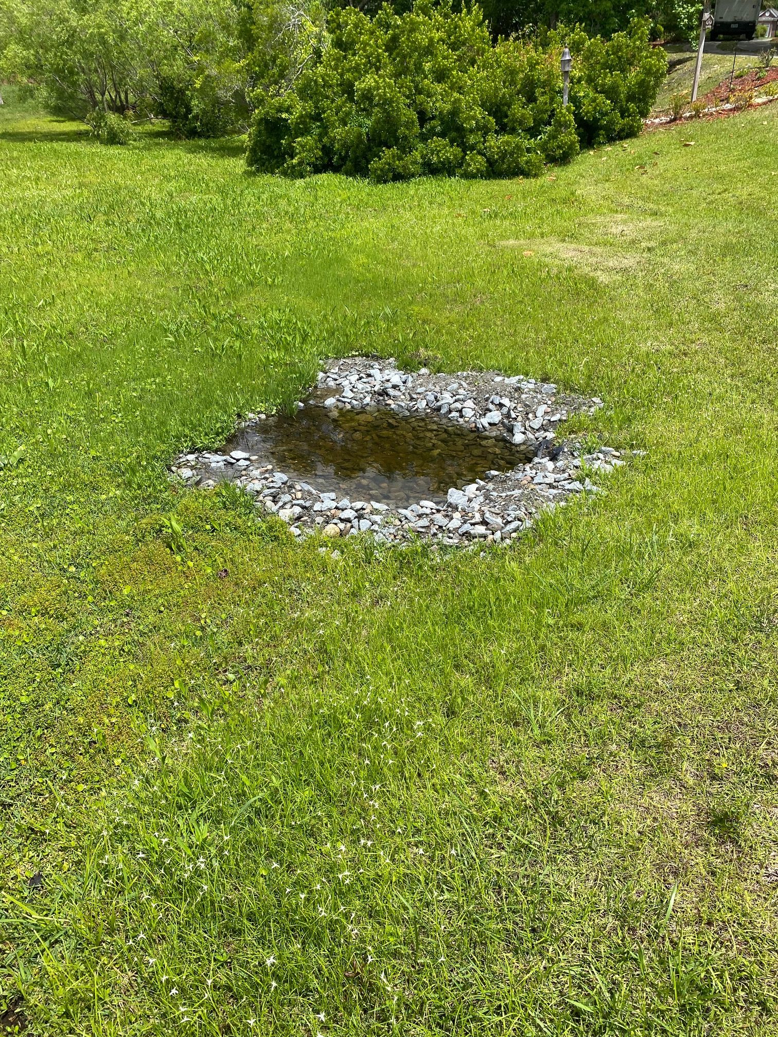
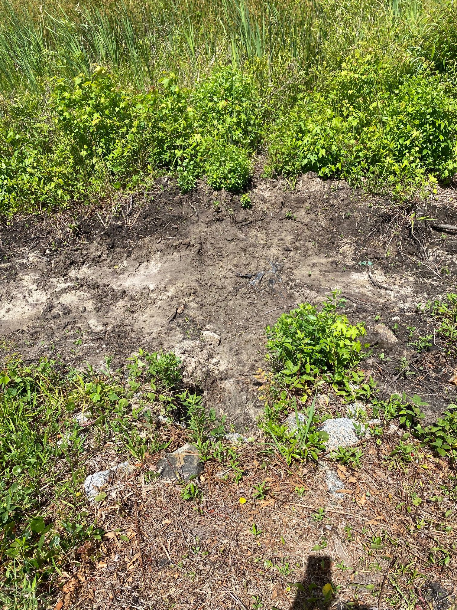
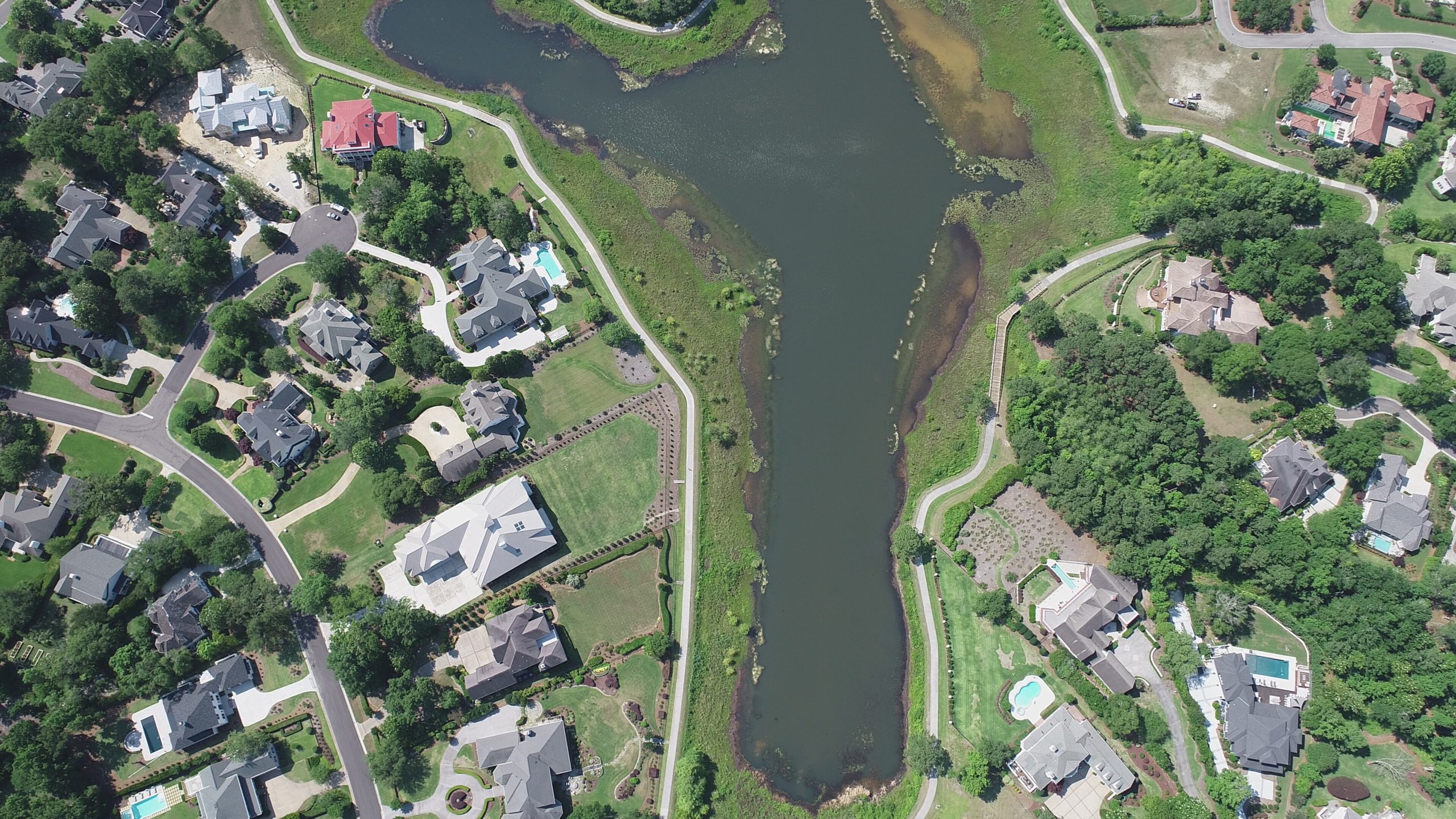
Drone Photos